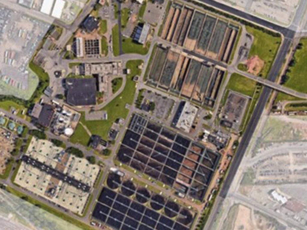
Our Engineering Geographical Information Systems (GIS) team is on the cutting edge of compiling and providing the data needed as state governments require more widespread and expansive utilization of GIS.
Our teams ensure that our clients have the information available when they need it at their fingertips, including spatial mapping applications that serve various purposes, from lead-pipe service location to asset management and 911 response plans.
At Boswell, we customize each database and the desired deliverable to meet the specific needs of our clients, such as developing web-based applications to monitor critical infrastructure. We compile the data from all of the tools at our disposal, from the low-tech, such as digitizing traditional records (paper maps, maintenance reports, road program data, and as-built drawings) to the most advanced GPS, Imagery, and LiDAR technology. In the end, our clients are left with a comprehensive system that will display highly detailed information about their world in the palm of their hands – whenever and wherever they need it.
Geospatial requirements from state governments are expected to increase and expand the need for complete database systems. Boswell’s GIS services keep our clients up-to-date, compliant, and operating efficiently with a system they can rely on when they need it most.